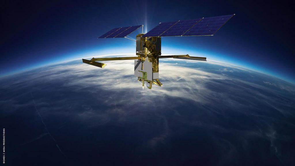
Another interesting piece of content is coming. The National Aeronautics and Space Administration (NASA) has launched an important project. It has launched the Surface Water and Ocean Topography (SWOT) mission to conduct detailed research on the water map of our planet's oceans, lakes and rivers. It was launched on a SpaceX Falcon 9 rocket from Space Launch Complex 4E at Vandenberg Space Force Base in California. The spacecraft was sent to study Earth's oceans, seas, rivers and lakes in detail from space.
Also Read: Power of a Large Earthquake Recorded on Mars Revealed
SWOT to Create Most Comprehensive Surface Water Map

SWOT is a satellite developed by NASA and the French space agency CNES in partnership with the Canadian Space Agency (CSA) and the UK Space Agency. The UK Space Agency provided £12.2 million to British technology company Honeywell to develop Karin's Ka Band duplexer, which routes vital radar signals around the satellite at a frequency never before achieved. SWOT is being done to reveal the clearest water flow on the planet. The mission will also monitor progress by closely tracking the effects of climate change. NASA Administrator Bill Nelson made the following statements on the subject.
Science Minister George Freeman also said:


No comments yet for this news, be the first one!...