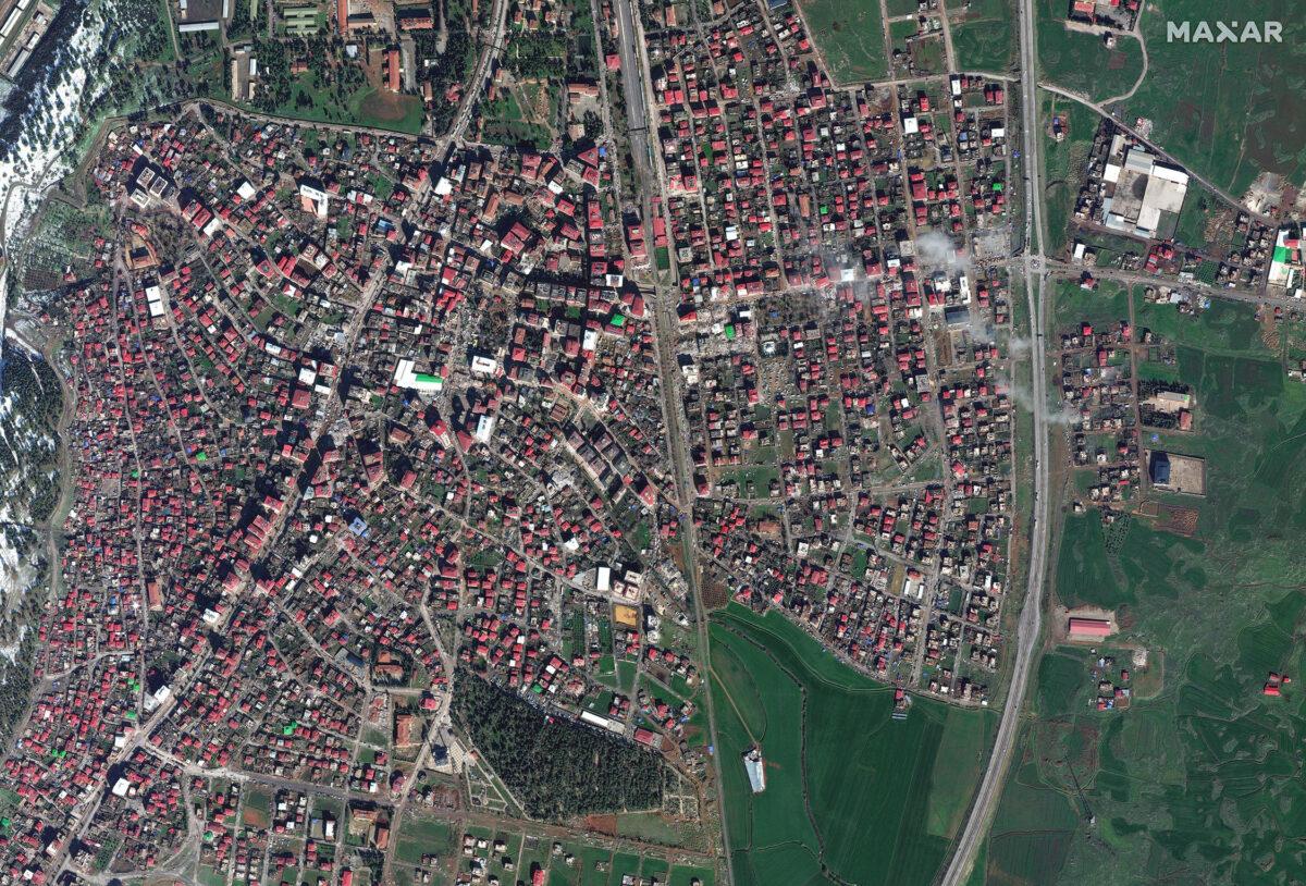
Maxar satellite imagery reveals the extent of damage caused by the earthquake centered in Kahramanmaraş. US satellite company Maxar has released new satellite imagery of various cities affected by the Kahramanmaraş earthquake. The satellite images clearly reveal the destructive power of the earthquake.
Maxar Technology, a US-based space technology company, has made satellite photos and coordinate data of the region freely available by sharing satellite images. Using Maxar's satellite photo archive, which has launched an open data program, pre and post-earthquake images of the region can be compared and collapsed buildings can be automatically identified.
Maxar, under the umbrella of Digital Globe, which provides Google Earth imagery, said it is working with multiple organizations to provide accurate satellite imagery and will continue to share new images of the earthquake zone.
Also Read: Basarsoft Help App is Installed!
Earthquake's Devastating Impact!

Maxar Technology revealed striking images of the destruction in Hatay, Kilis, Kahramanmaraş and Adıyaman after the earthquakes that affected our country. In order to access different data through the Open Data Program, it is necessary to fill out the form on the website. Detailed data can be easily accessed immediately after registration. Panchromatic Image, Data Mask, Multispectral Image, Multispectral Image, JSON and Visual Image formats can be used to examine the data in the desired detail.
Maxar also shares the work done every day and the changes in the region via Twitter. Reviewers also started to share comparative photos of the region. A tweet published by a user who discovered interesting details revealed the seriousness of the event.
Carlo Doglioni, head of Italy's National Institute of Geophysics and Volcanology, said the earth moved three meters following the devastating early morning earthquake in Turkey.
Assoc. Prof. Bülent Özmen from Gazi University's Faculty of Engineering reminded that the length of the broken fault will be clarified by measurement and stated that instead of saying that Turkey has slipped three meters, it would be more accurate to say "3 meters of thrust and translation has occurred in the Pazarcık segment of the Eastern Anatolian Fault".


No comments yet for this news, be the first one!...